Interview: Stuart Buchanan

Q: How long have you been involved in FlightGear?

I’ve been contributing for the last 5 or so years, and was using it before that.

Q: What are your major interests in FlightGear?

I dip in and out of lots of things. I’ve spent a lot of time in the last couple of years working on the 3D clouds, and before that random vegetation. I’ve created a couple of aircraft (vulcanb2,flash2apittss1c), and maintain a couple more (c172pa4fCub). I also help maintain The Manual. I’m one of the moderators on the forums, and I sometimes remember to write something for the Newsletter.

Like many contributors I spend way more time messing around with things rather than actually doing flights! I enjoy warbirds (the p51d is a big challenge for me), and the c172p or Cub for some easier flying.

Q: What project are you working on right now?

Trying to get more performance out of the 3D clouds! I’m also looking at improving the HTML output of The Manual, so it’s easier to use online.

Q: What do you plan on doing in the future?

Less fiddling, more flying! I have a 14 month old daughter so my FG time has been constrained, and will become more so in the future.

Q: Are you happy with the way the FlightGear project is going?

Absolutely. FG has never been healthier. With all the hard work people like James Turner and others have put into our Jenkins build server we’re now able to produce releases every 6 months. That’s a massive step forward from even two years ago. The range and quality of aircraft in the hangar continues to increase, and Martin’s continual work on improving our scenery infrastructure will pay huge dividends in the future.

Q: What do you enjoy most about developing for FlightGear?

Getting the chance to work with a great group of people, even if I never get the chance to meet them in real life. Coming across a really nicely modelled aircraft or some new feature I never knew existed.

Q: Are there any “hidden features” you have worked on in FlightGear that new users may miss?

Well given the number of people that fail to RTFM, my work on The Manual 🙂

I also think people get used to new features very quickly, so they effectively disappear. When I created the first proper forests (with a lot of help from Tim Moore), it was pretty exciting as we’d never been able to have that density of foliage before. Nowadays we all take it for granted.

Q: What advice can you give to new developers who want to get started on their first aircraft/new feature/Nasal script?

Start small. Modify an existing aircraft rather than create a new one from scratch. It’s tempting to start something new, but the amount of time and effort required to actually create a worthwhile aircraft with any realism is huge. We stand on the shoulders of giants in FG, so you might as well take advantage as much as possible!

Q: What do you do outside of FG?

I have a wife and 16 month old daughter and live in Edinburgh, Scotland. I work as a manager in a software development company (Metaswitch Networks). I’m also a keen climber and telemark ski tourer.

Q: Any real life flying experience?

I own and fly a flexwing microlight (aka trike) from East Fortune airfield just outside of Edinburgh (EG32 in FlightGear).  I’ve got about 200 hours so far and did a 7 day flying trip to the Isle of Wight in the south of England in 2010.


Preparing for a new Release

The FlightGear release team is just warming up to prepare the next release. This will be version 2.6.0 to be made available on February, 17th 2012 and our second release following our release plan. Users can expect a dramatic improvement in the visual system, improved AI traffic at assorted airports, a new video-recorder-style replay system and many, many more great new features.

Follow the progress of release team at the forum.

Soaring with the ASK-13

Soaring in Innsbruck

Author: Thorsten Renk

Innsbruck, 6 am on a warm summer morning just after sunrise. The first members of the aeroclub vacationing with their gliders get out of the tents and observe the weather. There is thin Cirrus coverage overhead, and the first weak Cumulus clouds are forming already. Winds are a steady 10 degrees from East – it looks like a promising day for soaring. I get the ASK-13 out and ready.

(In reality, we would not have the plane out like this in the morning – it’s dangerous to let light planes with excessively long wings lie around in 10 kt winds – either it would have a hangar space, or it would be disassembled in a trailer – but there are some things even Flightgear doesn’t simulate.)

The Local Weather subsystem of Flightgear has a fair amount of knowledge of convection and thermals. For instance, it includes the time into the decision what thermals are formed, and the strength of early morning thermal activity is thus a good guide for the strength later in the day.

Around noon, the thermal activity has significantly increased and thick Cumulus development is seen over the mountain ridges. I’m getting ready for a winch launch in the ASK-13. The ASK-13 is a rather old glider with a glide ratio of 28 optimum (i.e. it covers 28 m distance while sinking 1 m), thus it is not suitable for covering large distances, but it has very good slow-flying properties, and thus it can circle in very narrow thermals.

There’s no need to make a flightplan – soaring can’t be planned. I’ll simply get up there, have a look around and see what possibilities there are, and if I don’t catch a thermal quickly, I’ll land back on the field and do a second winch launch. Soaring in most locations is about finding the thermal updrafts beneath Cumulus clouds and circling them to get altitude. In the mountains, there is additionally the upward deflection of wind by mountain ridges, called ridge lift, which also leads to vicious sink in the lee of the mountains. Flying a glider in the mountains is difficult – often you may have to circle in a confined valley, you may unexpectedly get into a lee and lose a lot of altitude, or you may be forced to land in an unsuitable location.

Flightgear simulates both thermal and ridge lift and (in a very experimental way) in principle also wave lift. Ridge lift is dependent on the wind, terrain roughtness and the local terrain slope, whereas thermal lift is dependent on factors like terrain type and terrain elevation – just as in real life, strong lift does not form over open water but rather over surfaces which heat up in the sun. So, looking for rock surfaces or elevated terrain where a thermal is more likely to form are meaningful in Flightgear as in real life.

A winch launch gets us up into the air quickly – with a good climber like the ASK-13, 500 m altitude are possible (European gliders measure the altitude in meters, not in feet). Winch launch takes a bit getting used to, as it leads to quite rough acceleration and climb more resembling the performance of a rocket than of a plane, but is fun after a while.

The altitude gained in Flightgear winch launches is a bit generous when compared with reality. What launches are supported depends on the plane – several gliders allow aerotow in addition to winch launch. Aerotow allows to get to significantly higher altitude and basically any position, but is in reality much more expensive than winch launch.

Just after disconnecting from the winch, all of Innsbruck lies before us. I’m now turning south, as there are some promising clouds on the slopes there. I have to find a thermal quickly – there are none on the valley floor, so the actual altitude reserve I have are not 300 m above valley floor with 200 m for a safe landing, but far less since I have to look above elevated terrain.

And we enter the first thermal! It’s even a fairly decent one, with a net lift of more than 1.5 m/s. While strong thermals can give lift of 3-4 m/s, starting out low I have to use what I can get – this is not the time to be picky. Properly centering a thermal when entering from below requires some skill – there is no visual reference provided by the cap cloud, so this has to be flown by instruments.

A thermal in Flightgear is not just a uniform area of lift – it has a fairly complicated structure. There is a rim of turbulent air, and an outer layer of sink, the lift is strongest in the center of thermal, the whole column of rising air is slanted and a bit wasp-waisted, so the radius entering a thermal low is smaller than right beneath the cap cloud. Optionally, thermals also have a time evolution, i.e. they form and die off after a while.

After a good ten minutes work, we reach the cloudbase with a good 1500 m more on the altimeter. Now it’s time to go fly some mountains!

The ASK-13 is a twin-seater – a view from the back seat position (taken either by a passenger or an instructor) as we head south into Stubaital – Widdersberg just ahead slightly yo the right.

The ASK-13 can actually take a passenger (sitting on a different computer) via dual control in the backseat position.

Some gorgeous views of the Alps!

Here, I’m using the Innsbruck Custom Scenery, which received a lot of attention also by model developers in recent years, and is hence rather spectacular (see https://www.flightgear.org/forums/viewtopic.php?f=5&t=5350 in the Forum).

Since I’m now hugging a western slope, there is some amount of ridge lift available. The wind is not strong enough for me to really gain altitude, but by going close to the slope I can almost compensate my sink and hence make distance without losing altitude. The downside is that the wind is definitely strong enough to create substantial sink on leeward slopes, so I have to be very careful where I fly.

Heading into a small valley. Soaring is all about realizing possibilities – here the cloud looks very promising, and if I get a good strong thermal, I might even be able to cross the slopes to the right into the next valley. But it will not be easy – the terrain will restrict my circles, so I may not be able to center a thermal properly. I decide to give it a try.

This isn’t going well at all… First, there is some leeward sink coming in, reducing my altitude. Then, the thermal is there, but it is too weak and too small to really lift me up. In the center, I get half a meter of lift, but I can’t keep the plane stationary there, and circling the thermal my net lift is down to almost nothing. Moreover, I am running out of time – the cloud drifts towards the western slope, and I can’t follow it with the altitude I have left – I decide to abandon before conditions become unsafe.

As in real life, a promising cloud doesn’t guarantee a strong thermal. There is some randomness in the correlation between cap cloud size and thermal lift, and even a strong thermal may be in practice not flyable because its radius is too small. The thermal system is not designed to make soaring easy, but to make it a realistic experience, and disappointments are part of the experience. Soaring is not just heading to the next cloud to catch the next lift – one also has to be prepared for the case that no lift can be had there.

Turning around, the situation isn’y actually dangerous yet (in the event, I just need a 50 m strip of relatively level grass to land, which is easy to be had), but it’s not good either. I don’t really want to land in the countryside, because my team might otherwise face a long drive with the trailer to get the plane back. First, I have to head back into Stubaital.

And here we are – plenty of fields to use as landing sites just in case. And a very long way to go back to Innsbruck – all the way to the end of the valley. It looks impossible, but… there is still the ridge lift. Unfortunately, no thermals to help us out of this – the only visible clouds are on leeward slopes, and that’s a very bad idea to try. So I decide to fly very close to the slope to catch most of the ridge lift and try to get back to Innsbruck.

And… it works just fine – with just 50 m altitude loss I make it back – since the valley floor now drops, I have plenty of altitude to spare for my approach to Innsbruck.

Safely back at Innsbruck, and time for the next person to get into the plane and enjoy flying the Alps. I had hoped to fly a longer trip (I did manage to climb above the Habicht once with spectacular views into Italy), but then, soaring can’t be planned, and especially in the mountains, the conditions are often difficult.

A trip to Tenzing-Hillary Airport

A trip to Tenzing-Hillary Airport

Author: Thorsten Renk

One of the most dangerous airports in the world, Tenzing-Hilary Airport, also known as Lukla airport, hugs a small plateau in the Himalayan foothills. It is the gateway for trekkers into the Sagarmatha national park and climbers trying to reach the summit of Mt. Everest. The runway has a length of 460 m and a 12 degree slope – it needs aircraft with STOL (short takeoff and landing) capacities to operate from it. Usually DHC-6 Twin Otter or Dornier Do 228 aircraft, weather permitting, connect Kathmandu and Lukla. Today we will make the trip with the Beechcraft 1900D, a more modern commercial twin-engine turboprop which is also up to the task ahead.

Preflight preparations begin at Kathmandu airport. We will take off before dawn and experience the sunrise in-flight over the mountains. The route is about 70 miles due east from Kathmandu, just along the main mountain range. In good weather, several major summits are visible. Lukla itself is not equipped for instrument approaches, so we have to approach in VFR flight.

Many airports in Flightgear have a set of night textures, making the models visually appealing not only during day but also when it’s dark. Similarly, for many airplanes the cockpit lighting is modelled in some detail. Here, I have switched on the main panel light to illuminate my cockpit during flight preparations. The aircraft models also usually have strobe, nav, taxi or landing lights simulated.

Today, we have broken cloud cover over Kathmandu. As we climb, dawn approaches and the sky brightens, outlining the towering mountain ranges. Kathmandu has an elevation of 4300 ft, Lukla of about 9300 ft, but even this altitude is not even halfway up to Mount Everest with a bit above 29.000 ft. In fact, since the B-1900D is only certified up to 25.000 ft, we wouldn’t even reach the summit at top altitude.

At sunrise and sunset, Flightgear models the different level of light available on the ground and in the air. While it may still be dark on the ground, more light reaches the plane at higher altitude.

A few minutes later, the sun comes above the horizon and sky and cloud lights up while the terrain is still in deep shadow.

For this flight, I am using a development version of Flightgear which experiments with an improved modelling of atmospheric haze layers and shading of the terrain during sunrise and sunset. The result are quite impressive views of the sky. Presumably, this feature will become available with the regular release of Flightgear 2.6.

As we reach Lukla valley, the sun is up and some morning fog hangs in the lower foothills of the mountain ranges.

Now we turn into the approach, and Lukla valley is right before us. There is some fog in the upper valley, but the airstrip itself is clear (it can barely be seen just below the left windshield wiper).

We fly close to the left valley edge to have more space for the final approach. This means crossing some ridges at low altitude and sets off terrain warnings.

Many planes in the Flightgear world have instrumentation which warns about insufficient terrain clearance or potential collisions with incoming traffic.

Now it’s time to turn right into the 060 final approach. The wind is bad – it comes almost right from the rear, but as you’ll see shortly, the approach to runway 30 isn’t exactly available.

Here we are, lined up with the runway. Time to get the gear out and to decelerate a bit.

Some wind drift as we come in – last minute corrections. Lukla is not an airport for missed approaches or second chances – there is a solid rock wall right behind the runway and no chance to pull up. We have to hit the runway now, no matter what happens.

This fairly detailed model of Lukla is an addon to the official Flightgear scenery.

And… here we are, braking real hard.

Welcome to Tenzing-Hillary airport. We hope you enjoyed the flight with us!

In case you find the idea that Air New Zealand would operate in the Himalaya a bit odd, Flightgear offers The Livery Database where many more liveries from all over the world can be found for popular aircraft.

Reconnaissance with the SR-71 Blackbird

Mach 3.2 at 85.000 ft – the SR-71 in Flightgear

Author: Thorsten Renk

Pre-flight

A flight in the SR-71, or the ‘Habu’ as the crews call it, starts long before you enter the cockpit. With the aircraft making Mach 3, you can’t simply fly where you like or take a wrong turn. The Blackbird goes half a mile in the time it takes you to say ‘Oops’, it can be 20 miles in enemy territory by the time it takes you to check a map, and the turn radius is more than hundred miles. This means that basically anything you do needs to be planned in advance.

On longer recon flights, we would have tankers waiting for us in certain locations, but today is just a training flight. We will take off from Nellis AFB, Nevada, go north climbing, then turn around and overfly Nevada at 85.000 ft under mission conditions, then descend and head back to Nellis. All the waypoints for this flight have to be entered into the Astro-Inertial navigation system of the Blackbird in advance.

I am using Flightgear’s route manager to define the waypoints. As in reality, the plane is difficult to control at high altitudes manually, so the autopilot will have to take care of the climb to 85.000 ft. The waypoints need to be defined carefully such that the course is even possible to follow – at service ceiling, the plane is not very maneuverable. I could also, using the AI system of Flightgear, arrange for various tankers to meet me at certain points during my mission if I would want to fly a realistic long range mission profile for the SR-71.

When everything is ready, we finally enter the plane and taxi to the runway. The weather conditions are ideal for reconnaisance – it’s a very clear day with dry air and few clouds.

Many airports in Flightgear have a detailed network of taxiways and one can start the simulation on a specified parking position rather than ready on the runway, and an ever-increasing number of airports also is populated in full detail with 3d models showing not only the main buildings, but also other operations currently ongoing. Nellis AFB is one of the most detailed airports, where one can spend literally hours to explore every detail.

Takeoff and climb

With full afterburners, we gain speed and take off.

The two J58 engines with 34.000 pounts of thrust each sure look impressive with full AB thrust engaged – but the Habu is also a rather heavy bird. Moreover, the engines are designed for high altitude operations, so we just have a thrust/weight ratio of about 0.44, nowhere near to a fighter jet, and so even with full AB thrust, the climb is rather slow.

At about 25.000 ft, we go just a little supersonic for the first time. In this regime, wave drag is very high and the engines actually are not powerful enough to accelerate the aircraft any further. Also, in the thin air, the plane becomes increasingly difficult to handle precisely, and I transfer control to the autopilot.

In order to climb out to full altitude, we have to use gravity’s help and perform the so-called ‘dipsy’ maneuver – we climb to 33.000 ft, level off and let the plane go as fast as it can, then do a shallow dive to about 30.000 ft to let gravity accelerate us to Mach 1.25. Now we’re out of the wave drag region, i.e. drag is much reduced and we can climb further.

Flightgear handles the procedure rather accurately, It is not possible to simply hit the afterburners and fly to 85.000 ft, and if you do not reach sufficient speed at a given altitude, you can’t climb any further. The Blackbird reqires the pilot to adhere to the essential procedures. As in reality, in this altitude it is very difficult to control the plane manually with the precision required for the maneuver, but the autopilot can handle it well.

At the edge of space

Under the control of the autopilot, we continue to climb with a constant KEAS (equivalent airspeed) value of 450 kt all the way up to 70.000 ft, and then let the KEAS value drop to 400 kt while we reach 85.000 ft and Mach 3.2. At this altitude, we’re literally on the edge of space, and utterly alone – no other aircraft can reach this altitude.

The view from 85.000 ft is spectacular on a clear day, and at mission altitude the operator in the back seat becomes busy while the pilot can relax a little since the plane does little but fly straight under AP control.

Flightgear has an experimental skydome shader which tries to solve the physics of light scattering in the atmosphere in addition to the default skydome which handles both foggy and clear conditions reasonably well. The more detailed scattering solution is especially suitable for a thin atmosphere, such as at high altitude or on a very clear day, and it can give quite spectacular results under the right conditions.

At this altitude, the difference between indicated airspeed and the actual speed over ground is very pronounced: While we read just about 400 kt in the cockpit, we’re actually going more than 1900 kt groundspeed.

Flightgear has accurate models for the atmosphere at high altitude and effects like ram pressure taking the difference between true airspeed, indicated airspeed and equivalent airspeed, as well as Mach number to airspeed change with altitude into account. For most planes, these effects are not very prominent, but for the Blackbird they show up rather pronounced.

Returning to base

After completing the recon run, we slow down to 350 KEAS and descend again to 20.000 ft where I switch off the autopilot and resume manual control. In evening light, we head back to Nellis through a scattered cloud layer.

Some more dense clouds hang over Las Vegas as we merge into the approach pattern for Nellis AFB.

Cloud formation is tied to some degree to location: clouds are much more likely to form over the sun-warmed city than over cool open water. Also, terrain elevation plays some role.

The Habu is a supersonic bird – at low speeds it handles like a brick. One needs to be very careful not to lose too much airspeed when turning into the final approach. As compared with other planes, the approach is also really fast to retain enough lift – the Habu approaches with about 220 kt and touches down with litte under 200 kt – more than many propeller-driven aircraft will ever make. However, there remains the problem of deceleration… As we turn into final approach, I arm the drag chute, which is automatically deployed as we touch down.

The JSBSim Flight Dynamics Model handles object like the drag chute rather well as external forces. The drag chute has its own aerodynamical properties, it feels the wind and the drag effect is velocity dependent. As in reality, it takes quite a lot of space to decelerate a plane touching down with 200 kt, and in fact without the drag chute it would be a problem to slow down even given the long runway at Nellis.

After a successful training mission, we reach the temporary parking position of the Habu and head for debriefing, before we leave the base for a nice, cold beer in Las Vegas.

Carrier Ops (USS Carl Vinson)

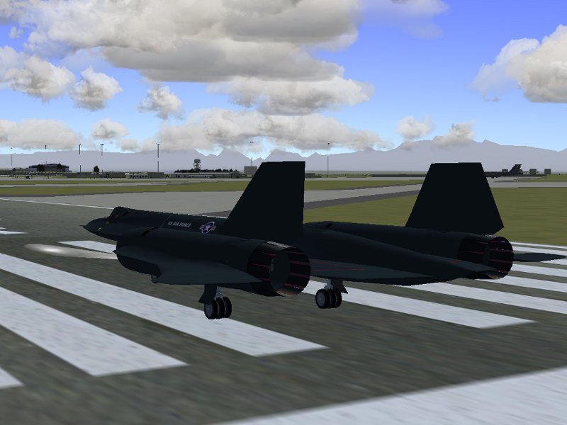
Carrier Operations in Flightgear

Author: Thorsten Renk

Pre-flight preparation

The flight deck of the USS Carl Vinson, 8:30 am Pacific Daylight Time, off the US west coast: an F-14b is made ready for a flight. The weather is rough, 16 kt of winds coming from the open ocean, with gusts reaching up to 20 kt and changing directions. The Vinson has just crossed a patch of rain, but the clouds seem to be breaking up.

While the ground crew takes care of the plane, the pilot and the RIO go through mission briefing. Our flight this morning will be an intercept training – there is an intercept target north of us which we are to identify.

The scenario is set up using Flightgear’s AI system – both the carrier group and the intercept target are defined as AI scenarios which are defined before starting the simulation. Here I am using a simple setup placing a target on a predefined course – but using Flightgear’s scripting language, it would easily be possible to set up a situation completely unknown to me, or an unknown number of targets, or even a scenario which reacts to my presence in a certain way. AI scenarios can be quite complex – the Vinson scenario simulates the movement of a whole carrier group! The weather conditions can come from live weather reports, or be generated by a sophisticated offline weather system. Many planes in Flightgear (such as the F-14b) offer multi-crew support, i.e. in principle I could share this mission with a human as RIO – in this case however, I’m actually flying alone.
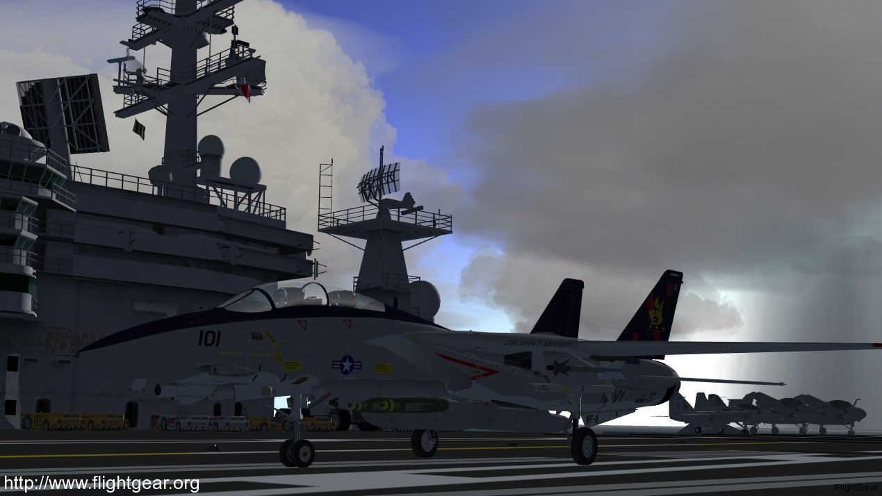
Ready to launch!

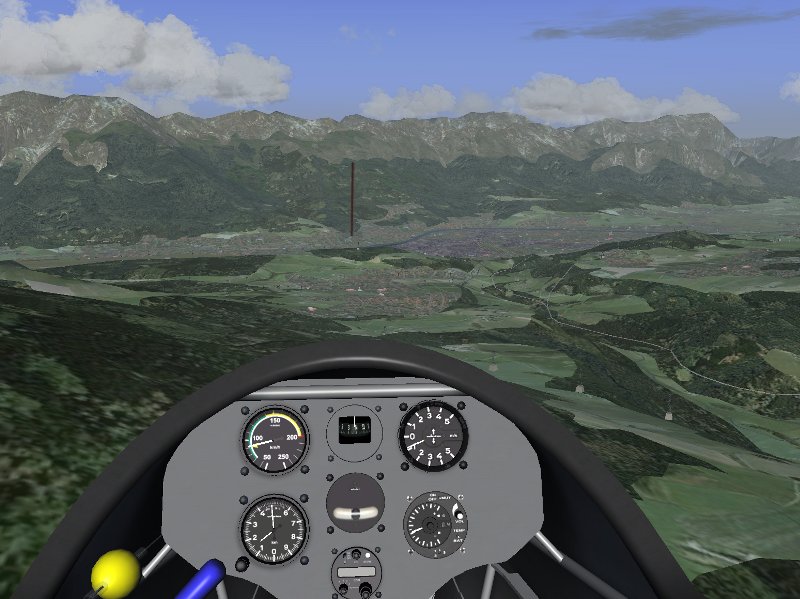
We enter the cockpit and close the canopy. While the crew arms the plane (we’ll be carrying a light air-superiority loadout), I am busy adjusting the plane for takeoff. Among other things, I adjust my altimeter to the current pressure and enter the TACAN channel of the Vinson into the left console. TACAN (TACtical Air Navigation) will be my guide back to the Vinson across a cloud-covered, featureless ocean. I also check the fuel loadout – due to the somewhat rough weather conditions and gusty winds, I prefer to take a lighter fuel load rather than launch with all tanks full.

After all preparations are done, I taxi the plane to the launch catapult and it is attached to the guiding rail. I set the throttle to full afterburner – we are good to go. Windgusts blow the catapult steam all over the deck.

Aircraft in Flightgear allow to customize fuel load, and quite often also the weight distribution of cargo, passengers, or in the case of the F-14, the armamant. All this influences the behaviour the plane will show later in the air, thus this is also an important part of pre-flight preparation. For western fighter jets such as the F-14b, radio navigation is done using the TACAN system. Flightgear has both ‘fixed’ TACAN installations (for instance at airbases) which are part of the scenery, as well as definable TACAN channels to be assigned to AI objects. 

In the air

The catapult launches us forward, and will full afterburners roaring our jet is in the air. For a moment the gusty winds shake us hard, but with rolling friction gone the plane accelerates quickly, and as I retract the gear we can climb steeply into the more quiet air above.

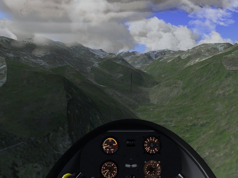
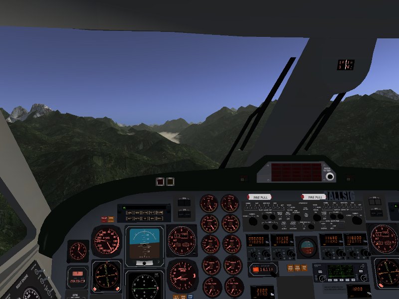
The weather simulation distinguishes between the (usually more gusty) boundary layer winds, and the stronger, but less gusty high altitude winds. The thickness of the boundary layer depends largely on terrain roughness, i.e. it is rather thin – as I pull the plane up, I can leave it quickly.

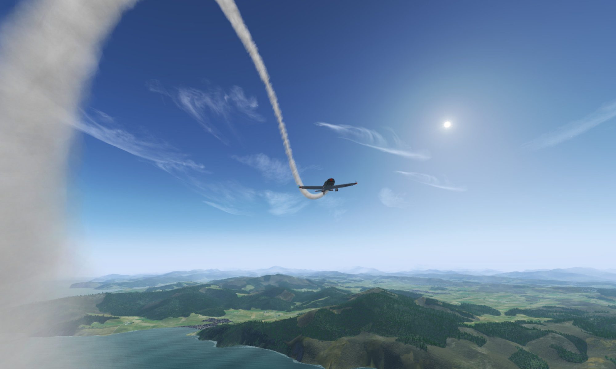
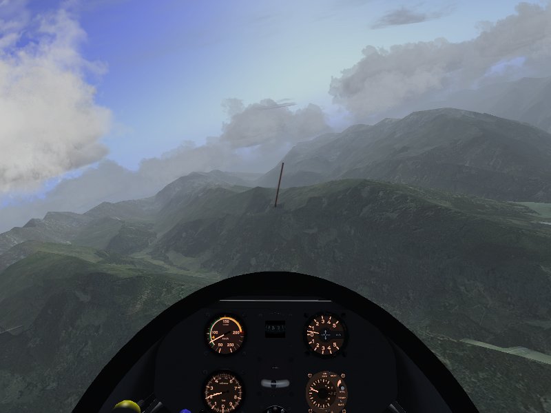
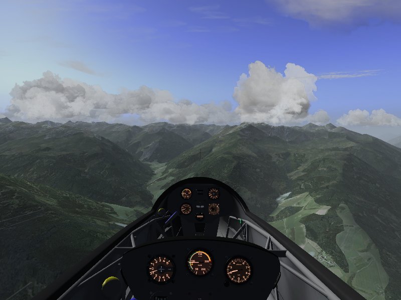
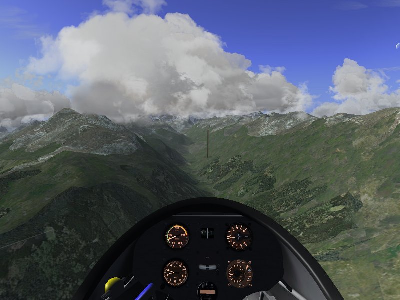
We keep climbing through scattered clouds into a brilliant morning sky.

At 25.000 ft, I level the plane and turn to the planned intercept course. I could use the autopilot for a while, but I enjoy actually flying myself too much.

Many planes in Flightgear have realistic autopilots. In the case of the F-14b, the AP is carefully limited to what functionality its real counterpart can provide – it is a simple system that can level wings, hold an altitude and hold a course, but it cannot by itself follow radio navigation as the more modern systems of other planes do.

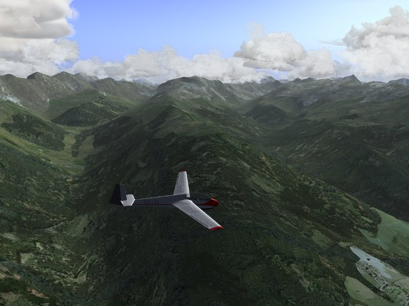
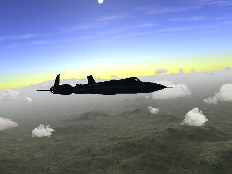
As we go supersonic and race towards the intercept target, the wings automatically fold into their delta configuration to optimize for supersonic flight.

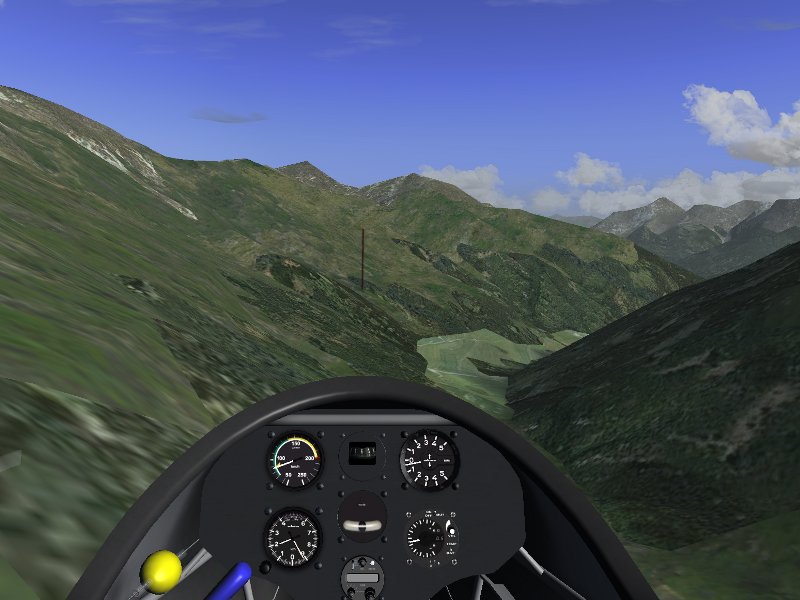
However, today we are in for a disappointment: We do not find the intercept target in time, and racing with full afterburner power, our fuel reserves are quite limited. I decide to abort the chase eventually. To be on the safe side, I ask the Vinson for a tanker.

Tankers could have set up in advance as AI scenario, but Flightgear also has the option to call a tanker for aerial refueling right to your current location – which is what I am using now. 

The KA6 used to refuel the F-14b is quite a small plane and difficult to detect visually, but as we ask for a tanker, we get its TACAN channel to guide us into position. However, I decide to track it on the radar instead (as I would for an intercept) and fly the approach by radar.

The F-14b has a fairly radar that is modelled in quite some detail – it has both a scanning and a tracking mode, it provides information about the target heading and groups targets into different types.

Aerial refueling

Getting fuel from a tanker requires some precision flying – the idea is to approach from behind just a bit faster than the tanker, and then to decelerate without dropping altitude just in the right spot. The trick is to gauge accurately how quickly the plane will slow down once the throttle is pulled back – a mistake there will inevitably lead to oscillations around the right position.

With the probe extended, we approach with just above 250 kt into the sweet spot of the KA6.

and finally start receiving fuel so that we can make it back to Vinson

Aerial refueling, both via probe (as demonstrated here) and boom is implemented in Flightgear. Although many aspects are easier than in real life (there is no turbulence induced by the tanker for instance), it is a tricky enough maneuver to master – especially since the AI tankers fly realistic racetrack patterns, i.e. at some point they start to turn!

Back to Vinson

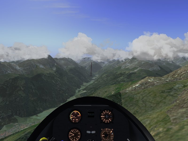
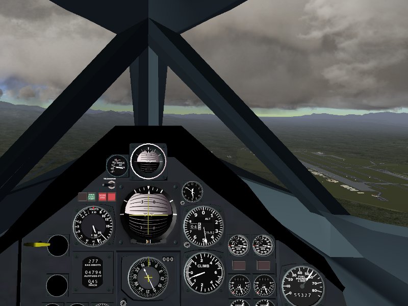
TACAN guides us back to the Vinson. This time, I fly in the subsonic regime. Another 15 minutes later, we start to descend at the position of the Vinson. Here’s the view from the RIO position as we descend towards a cloud later at around 8000 ft.

We overfly the Vinson and its escort group to get into position for an approach.

Then I slow down the plane, extend flaps, the hook and gear and turn into my final approach. Carrier landings, especially in rough winds, are always more of a controlled crash than a proper landing… but TACAN and the Fresnel Lens Optical Landing System are there to help me align properly in difficult conditions.

However, in this case, the unpredictable crosswinds blows me off course.

Weather in Flightgear can change – gust speed and direction may vary on a short timescale, but winds may also change driven by a new weather report in the live weather system or by the dynamics of the offline weather system. 

At this point I decide to go around, so I switch afterburners back on and retract the gear, blast by the Vinson and come again for a second try. After contacting the Vinson, the carrier turns into a new recovery course.

AI control allows to modify the behaviour of Ai scenarios runtime. In this case, I direct the Vinson to a new course better suited for my landing while I go around.

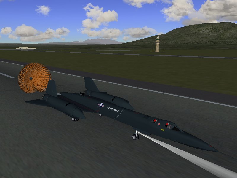
Caught by the wire on the second attempt…

Missing the approach the first time is not too uncommon with the carrier – it’s always better to try again and hope that things go better than to try to force the aircraft down onto the deck when thing are not going right. Even when touching the deck, it’s not guaranteed that the wire catches, so one should always be prepared to yank the throttle forward.

Debriefing

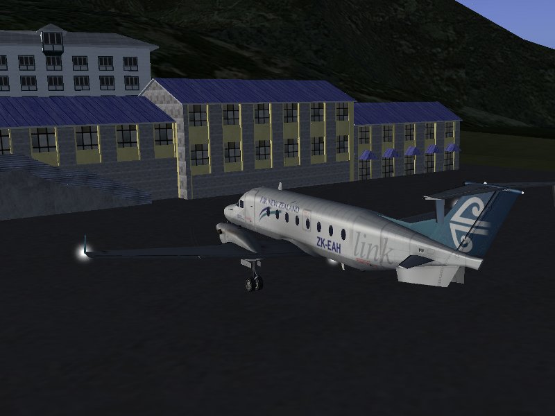
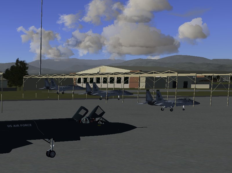
We get out of the plane…

This time, the mission was a failure – we did not manage to reach the intercept target as planned. But this is as life goes – sometimes things do not work out as planned, sometimes something goes wrong with the plane, sometimes the weather does unpredictable things. The important thing is to be prepared to abort whatever you’re doing if it’s unsafe, and to react to the conditions. It’s always better to stay on the safe side than to end the day in flames.

Flightgear has the option to randomly fail systems with a certain probability. Had I wanted, I could have set up the simulation in such a way that my altimeter wouldn’t work. In several planes, even quite detailed emergency procedures are supported, such as extracting gear without pressure in the hydraulic system, or engine restart in the air after flameout.

P.S.

Youtube video of Carl Vinson Ops.  (Best viewed by clicking “Watch on YouTube” and then going “Full Screen”)  Seriously FULL SCREEN and CRANK UP THE VOLUME!!!

[youtube]http://www.youtube.com/watch?v=cvbtSG9cy20[/youtube]

Predator drone video footage circling the Carl Vinson …

[youtube]http://www.youtube.com/watch?v=PK1uxUZaFBc[/youtube]

Eurocopter EC-135: Aircraft of the Week

Eurocopter EC-135

Model

The Eurocopter EC-135 comes with a very impressive 3d cockpit with photorealistic texturing – one example of very few aircraft in Flightgear.

Unfortunately, many of the switches are not yet functional, and the procedures to start the engine are very simple. Some work on support for more detailed procedures would be beneficial for the helicopter. Nevertheless, the realistic looks of the cockpit create a very nice feeling of immersion into the simulation.

The exterior model, for which a variety of liveries are available, is likewise very impressive – it makes use of state-of-the-art reflection shaders and has animations for lights, the rotors and the doors.

If the model crashes, the crash is also (partially) animated by showing the broken rotor blades.

Flight characteristics

Lacking any experience with any helicopter in reality, it is somewhat difficult to judge how well the FDM is done. Helicopters in Flightgear are not easy to fly due to the overall high degree of realism. However, compared with other models such as the Bo-105 or the R-22, the EC-135 handles certainly a bit easier and is a suitable helicopter for a beginner to learn the basics of helicopter flight. Also as compared to many other helicopters in Flightgear, the EC-135 has a rather powerful engine and can quickly climb vertically.

The model shows a lot of phenomena characteristic for helicopters: For instance, the rotors generate a lot more lift in forward flight than in hover flight, which needs to be compensated for when approaching for landing. In slow or hover flight, the EC-135 can swing like a pendulum under the rotor – this is a very nasty condition and difficult to deal with. The torque of the main rotor is clearly felt and must be compensated by the rear rotor, although this is not as tricky to balance as with other helicopters. The helicopter can easily be flown backwards or sidewards – it’s however tricky not to lose control when doing so. Another interesting experience is to hover at high altitude, then reduce lift via the collective – the helicopter drops down rapidly, and one can observe the blades spinning up.

My personal wishlist

More functionality in the cockpit and more implemented procedures would be a very nice addition to the model.

Things to experience

There are plenty of heliports in the Flightgear world. One nice tour is to load the Vinson AI scenario, and, starting out from the carrier itself, visit its escort group (provided you don’t mind that it’s not a US Navy helicopter…). Most of the ships have a helipad where you can land and enjoy the view you usually don’t get to appreciate. Also, many buildings have helipads on their roofs. It’s somewhat tricky to land on such a tight spot, but it can be done, and usually results into a good feeling of accomplishment.

Thorsten

FlightGear v2.4.0 Released

picture-0011

Overview

The FlightGear development team is proud to announce the release of version 2.4.0 of its free open source flight simulation program. FlightGear 2.4.0 reflects over one and a half years of development and incorporates several new and exciting features, as well as numerous bug fixes.

One of the hallmark features of this new FlightGear version consists of a completely overhauled weather module. While it was previously already possible to load realistic weather by downloading (or creating custom) METAR weather reports, the current FlightGear 2.4.0 version takes weather generation an order of a magnitude further by applying the laws of physics to the reported conditions and by determining how the atmosphere interacts with the terrain. This results not only in customizable weather, but also in all the exciting phenomena that occur at the boundaries between different weather systems. Among the numerous phenomena included in the weather simulation are fog layers that are limited in altitude, cold fronts, thermals, cloud formation in updraft winds along mountain ridges, and many, many more. In FlightGear 2.4.0 checking the weather is no longer a luxury option, it is essential for flight safety.

picture-0008

Adding to the improved visual experience, FlightGear 2.4.0 introduces numerous graphical enhancements. By employing state-of-art computer graphic techniques, FlightGear 2.4.0 is capable of rendering highly realistic mountain surfaces, 3-dimensional cityscapes, or shiny metallic surfaces. Through the application of these new computer graphics, water moves realistically and sunlight is reflected from its surface. Many new aircraft models are so realistic and detailed it is almost possible to see oneself reflected in their hull. If that isn’t enough, FlightGear 2.4.0 can draw a full 3D image, through one of the many stereoscopic rendering options.

FlightGear’s user experience is also enhanced through several improvements to the software. New and extended autopilot controllers have resulted in a dramatic improvement in autopilot stability in many aircraft. Additional cockpit systems such as TCAS, and EICAS systems –as well as other realistic aircraft reactions to the environment– provide unique new challenges and opportunities. And if these systems still can’t prevent one from getting lost, it’s always possible to pull up a moving map, or use the new and improved heads up displays.

Under the surface, FlightGear 2.4.0 also introduces several innovations. A brand new experimental HLA interface layer allows for real time communication between several independently operating modules, either running on a single computer, or on a cluster of networked machines. Eventually, HLA allows for a complete modularization of FlightGear, and its integration with professional high-end flight simulator hard- and software components.

Finally, FlightGear 2.4.0 has a built-in option to keep its scenery up to date and download new scenery areas on the fly. While this was already possible by using an external program, this feature is now incorporated in FlightGear itself. The many new and updated scene models all around the world will keep one busy exploring the world of FlightGear. With a choice of nearly 500 different aircraft, from historical to bleeding edge, from ultra-lights to the ultimate flying heavy metal, there is something to cater to each one’s taste. In FlightGear 2.4.0 it’s no longer the sky that is the limit; it’s the imagination.

picture-0004

FlightGear 2.4.0 Fact sheet

Program enhancements:

Aircraft operations:

  • A new head-up display (HUD) system
  • An in-sim moving map
  • ATC/ATIS improvements
  • EICAS instruments are available on a selected number of aircraft
  • Improved autopilots
  • TCAS, works with AI and multiplayer aircraft, provides aural warnings for conflicting traffic and is also capable of driving a realistic traffic display. AI aircraft also respond to TCAS alerts and take evasive action
  • Updates to the KLN89 GPS.
  • Tankers now refuel with any callsign, and can enable/disable refueling in flight.

AI system

  • A standalone AI flightplan generator program
  • Approaching aircraft now follow realistic approach trajectories
  • Ballistic objects can be slaved to any AI object
  • Improved AI ballistics behavior
  • More communication / interaction between AI aircraft and ground. Support for multiple frequencies for AI/ATC interaction.
  • Speed-up for AI traffic initialization by means of an aircraft usage statistics collection mechanism

AI Traffic

  • General and commercial aviation traffic at LOWI airport
  • Malaysian Airways / Kuala Lumpur based traffic
  • Traffic for Adria (Croatia)

Flight dynamics

  • A new MIL-STD Turbulence model has been added to the JSBSim flight dynamics simulation engine

picture-0003

Environment

  • A local weather system to simulate physically correct local weather phenomena
  • Discard of outdated METAR weather information sources and improved METAR parsing
  • New Fog layers with limited elevation
  • Scenery can be downloaded and installed on-the-fly via an in-sim TerraSync interface
  • Specific multiplayer pilots can be selectively ignored

Interface

  • Complete overhaul of the autopilot system
    • New digital controllers
    • Flexible use of input and output values
    • Support for mathematical expressions
    • Usable for generic numeric data processing as a “property rule” system
  • Better integration of separate weather systems
  • New support of draggable 3d objects like throttle-levers
  • Support for textures generated from VNC clients
  • Unified runway selection code that is shared between user controlled and AI controlled aircraft
  • New HLA interface for distributed simulations
  • New on demand loading of Nasal modules
  • New support for external (aka real) Garmin 400/500 WAAS Units

Visual effects

  • Various graphics improvements using shaders, including 3D urban effects, reflections, water, rock textures, lightmaps, skydome scattering
  • Easy GUI-based access to a host of stereoscopic 3D rendering effects
  • Panoramic distortion
  • Persistent contrails
  • New standalone 2D-Panel rendering utility
picture-0013

Bug fixes

  • Fixed METAR live weather (http requests from NOAA)
  • Fixed many sources of the infamous NaN errors
  • Improved stability by fixing many segmentation faults, deadlocks and memory leaks
  • Improved placement of random objects
  • Fixed inconsistencies with scenery tile scheduling
  • The replay system now works again as advertised
  • The ground proximity warning system (GPWS) works reliably now
  • Runway lights also working with ATI graphics cards now (rendering option to disable point-sprites)
  • Many, many more. See our bugtracker for an extensive list

Highlighted new and improved aircraft

  • A new and highly detailed IAR-80 (a Romanian-produced WW2 fighter)
  • A new highly detailed Piper Cub
  • Airbus A320 Family (318/319/320/321)
  • An improved P-51D, completely remodeled and containing improved flight dynamics
  • Boeing 717
  • Boeing 757-200
  • Bombardier CRJ700 Series (700/900/1000)
  • Bombardier CRJ200
  • Douglas A-4F Skyhawk
  • Improvements to the Boeing 787
  • MiG-15bis
  • PZL-Mielec M18B “Dromader”
  • Short S.23 Empire flying boat
  • The Boeing 737NG Series
  • The Boeing 747-400 and 777-200 have received lots of improvements
  • The Douglas DC-8 Series
  • The Eurocopter EC130 B4 Helicopter
  • Tyre smoke effects on many aircraft
  • Zeppelin LZ 121 Nordstern

Start Downloading!

FlightGear Flight Pro Sim Statement

Version 1.4a

As many people will be aware, there is a (self described) “new” flight simulator product that is being widely and actively marketed at the moment under various names – Flight Pro Sim, Pro Flight Simulator, etc. These “new” simulators are simply a rebranding of the FlightGear open-source flight simulator. However, the marketing tactics of the Flight Pro Sim guys have caused more than a bit of confusion with end users. To help provide some clarity and answer some common questions, we (the core FlightGear development team) felt it was appropriate to make a statement, and provide a FAQ.

FlightGear is an open-source flight simulator that was created in 1996. It is released under the GNU General Public License v2, and as such, it is free to use, modify and distribute with few restrictions. It has been developed with the collaboration of a large number of individuals over the last 14+ years. The complete FlightGear application and source code can be always downloaded for free from https://www.flightgear.org.

Flight Pro Sim is a commercial product that simply rebrands FlightGear. Investigation by a number of the FlightGear developers has found no difference between this and the FlightGear v1.9.1 release other than a change of name. Flight Pro Sim is in no way endorsed or supported by the core FlightGear development team.

Given the similarities between Flight Pro Sim and FlightGear, we would recommend that prospective buyers download FlightGear for free and satisfy themselves that Flight Pro Sim provides worthwhile value for money before purchasing it.

FAQ:

Q: What is the difference between FlightGear and Flight Pro Sim?
A: As far as we have been able to make out, the only difference between FlightGear v1.9.1 and Flight Pro Sim is a change in name throughout the software, and the fact that you have to pay for it.

Q: Is it legal for the makers of Flight Pro Sim to simply re-brand FlightGear ?
A: Under the GNU GPL v2 (http://www.gnu.org/licenses/gpl-2.0.html) this is legal, provided that they distribute the source code (or make it available). The main issue that FlightGear developers have is the misleading marketing tactics used by pro flight sim that target unsuspecting users who aren’t yet familiar with FlightGear. This is primarily an ethical, not a legal issue.

Q: Is it legal to sell a copy of FlightGear, whether re-branded or not?
A: Yes, provided the seller is in compliance with a number of conditions detailed in the GPL. In fact, those interested in receiving a DVD containing FlightGear may do so through the main FlightGear website, and directly contribute to the project (though they may want to wait for the upcoming release in the new year).

Q: Has Flight Pro Sim paid any money to FlightGear for the rights to the program ?
A: No. No such payment is required, as FlightGear is GPL software. No such payment has been offered, no such payment has been made. Any claims by Flight Pro Sim that they support the FlightGear project are entirely wishful thinking on their part.

Q: Why do the FlightGear developers allow this ?
A: The freedom to modify and enhance FlightGear is a core part of the project, and of open-source in general. Restricting the modifications that are allowed and what people can do with the software goes against that ethos.

Q: Is there any relationship between the makers of Flight Pro Sim and the FlightGear Project?
A: No.

Q: Has Flight Pro Sim contributed to the FlightGear project at all ?
A: No.

Q: I have purchased Flight Pro Sim. Can I get a refund ?
A: That is something you will have to take up with the distributors of Flight Pro Sim.